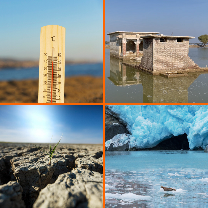
Pakistan witnessed a sudden heatwave in March 2022 and on May 1, the temperature in Nawabshah city reached 49.5 degrees Celsius, the highest temperature on the earth that year.
According to the United Nations Office for the Coordination of Humanitarian Affairs (OCHA), during the heatwave, the temperature in most parts of the country was five to eight degrees more than the average temperature. Pakistan had a second major drought of the last six decades in April.
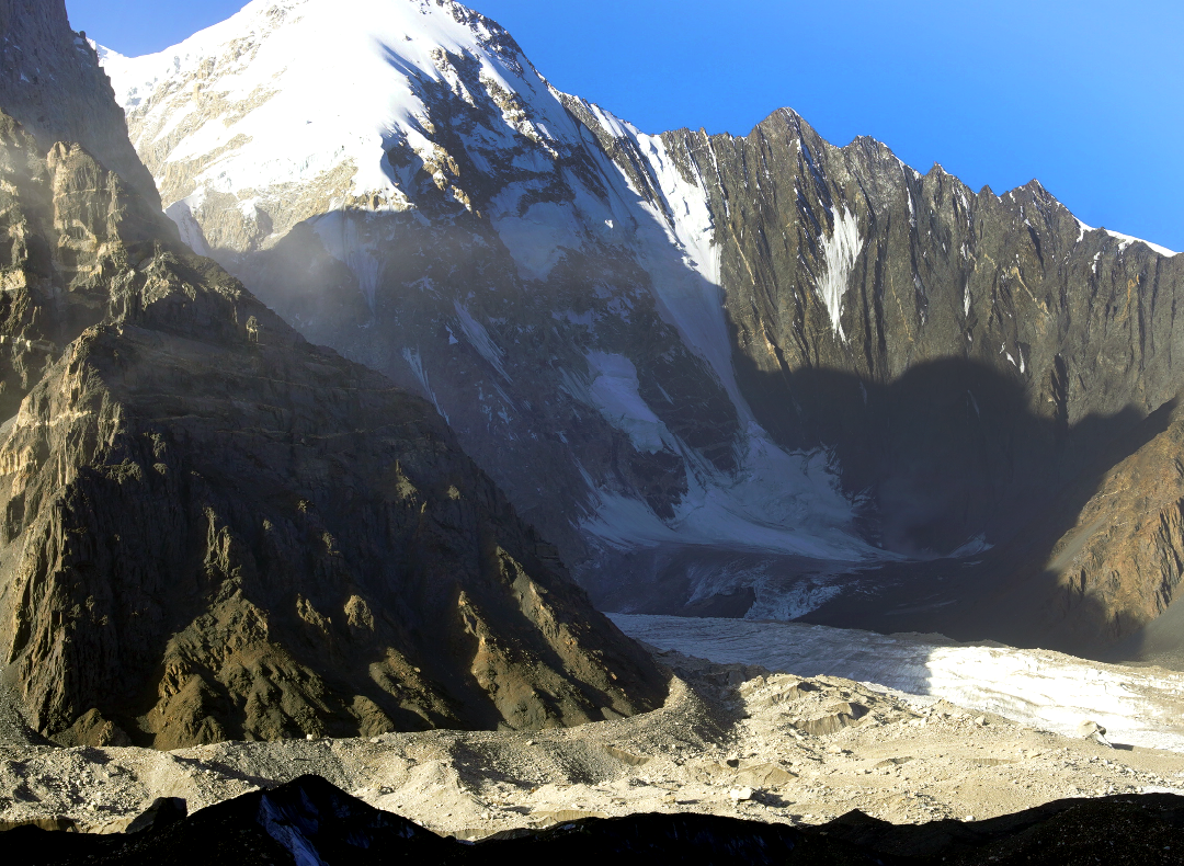
“The drought killed at least 90 people and caused severe power outages, fires, and crop damage. With intense heat, the snow on the mountains began to melt and the Shisper Glacier collapsed, creating a glacial lake in Hassanabad (Hunza),” the UN report says.
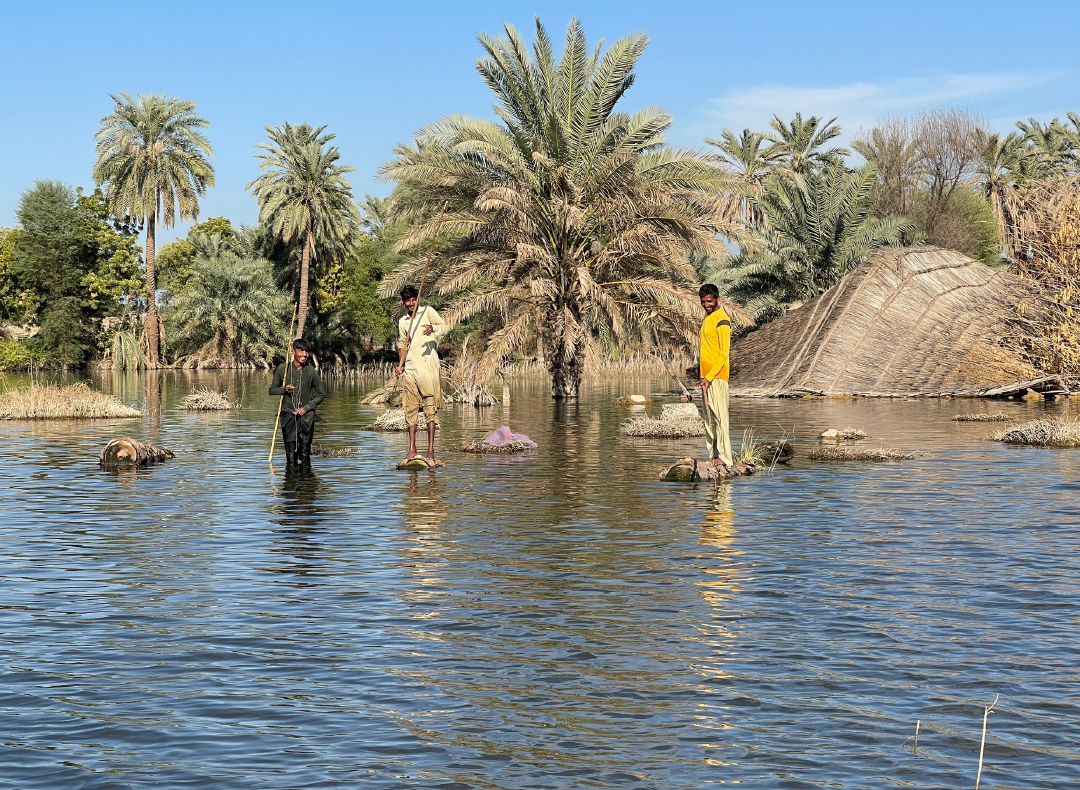
Besides the heat wave deterioration, heavy rains and floods that followed in July, claiming more than 530 lives (the death toll later rose to 1,739 while eight million people were displaced) whereas roads, bridges, houses, and schools were destroyed, according to the report.
Effects of climate change
Scientists link heat waves and floods to the climate change. According to them, the winters are getting shorter after which summers start abruptly. This year also Pakistan was exposed to severe climate change effects.
Dr Sher Muhammad, a glacier expert, is associated with the International Centre for Integrated Mountain Development (ICIMOD). He says that the northern parts of the country have winters in October while there are several episodes of rain and snow from November to December.
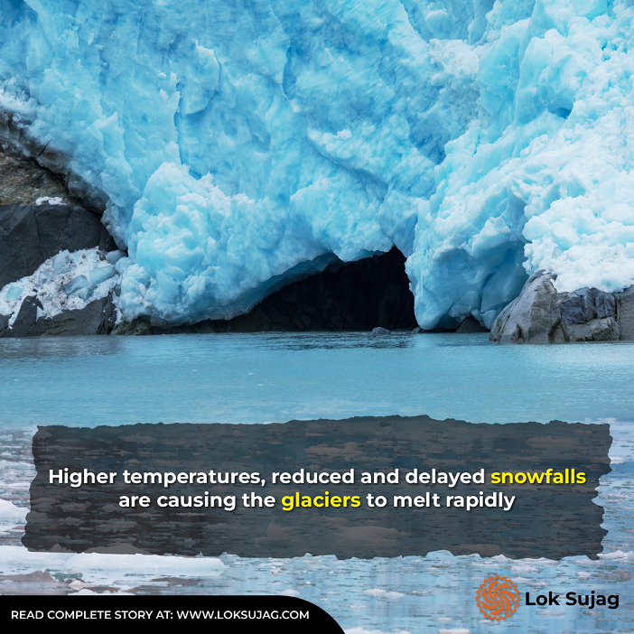
“However, there was an unusual snowfall in March. This delayed snowfall has drawbacks as it does not freeze properly and leads to accidents. The temperature rise in March causes the snow to melt and collapse.”
Dr Sher Muhammad says that at a normal temperature, the snow melts gradually, which improves the environment and provides a constant supply of water. On the other hand, untimely snowfall is harmful.
Snowfall and glaciers in Tibet, India, and Pakistan are the perennial and major water source for the Indus River, making it the ‘Mighty Indus’ when combined with the rainwater. This river is the 21st largest river in the world in terms of annual water flow and it is 1,976 miles (about 3,180 km) long.
According to the Food and Agriculture Organization (FAO) of the United Nations, the Indus River is the lifeline for at least 300m people (2011 data) living in the Indus Basin. It flows from the Hindu Kush, Karakoram and Himalayan mountains and through the plains and deserts of Sindh and Punjab.
Indus Waters Treaty
The Indus Waters Treaty includes all the areas where rainwater or snow water drains (through streams or small rivers) into the Indus River.
The FAO report, named Indus Transboundary River Basin Overview, states that the total area of the Indus Basin is 1120,000 sq km, which lies 47pc in Pakistan, 39pc in India, 8pc in China, and 6pc in Afghanistan.

About 440,000 sq km of India (14pc of the country) lie in the Indus Basin, which includes India-held Kashmir, Himachal Pradesh, East Punjab, Rajasthan, Haryana and Chandigarh. However, one percent of China and 11 percent of Afghanistan's area is the catchment area of the Indus Basin.
According to this report, 520,000 sq km of Pakistan’s area falls in the Indus Basin, which includes the northern regions and Kashmir, Punjab, both provinces of Khyber Pakhtunkhwa, most of Sindh and eastern parts of Balochistan.
According to the Indus Waters Treaty, the Indus river basin receives 181.62 cubic kilometres of water annually from China, including 50.86 cubic kilometres from India. Thus, the annual total flow is 232.48 cubic kilometres.
Under this agreement, approximately 170.27 cubic kilometres of water has been allocated to Pakistan and 62.21 cubic kilometres to India.
Millions of Pakistanis depend on the Indus river for water. At the same time, 95pc of the country’s agricultural area is irrigated (including tube wells that draw water from the ground) by the rivers and streams of the Indus Basin (Jhelum, Chenab, Ravi, Sutlej, etc.). Hence, the country can only meet the electricity production with water.
Rain, snow, glaciers and rivers
Installed rain gauges and flow sensors along with automated stations are beneficial for meteorological information and flood forecasting in the northern regions of the country. However, snowfall is still estimated from satellite images.
The Met Office Islamabad’s data for the last 20 years reveals that different regions of Pakistan receive an average of 4.2 feet of annual snowfall which varies every season.

As per the data, the country had the highest snowfall of about 8.5 feet in 2004-5. However, it declined after the six feet of snowfall in 2008-09.
“Even 2017-18 had a snowfall of only two-and-a-half feet, the lowest in 19 years. Last year's snowfall was about three feet and even lesser during the last winter.”
According to the Met Office data, the annual average temperature in Pakistan is also increasing, which was 20.87 degrees Celsius from 1901 to 2022, and 22.23 degrees in 2022.
Glaciers are also shrinking due to higher temperatures and lesser and delinquent snowfall.
A study report issued in Pakistan Journal of Meteorology in January 2017 describes a 27-year assessment of two glaciers (Darkot and Yazghil) and two associated lakes located in the Ghizer district of Hunza.
According to this report, the area of the Darkot Glacial Lake was about 73,000 square meters in 1988, which shrank to 53,000 square meters by 1998. Similarly, it further decreased to 35,700 square meters by 2001.
However, the area began to increase after 2001 and became 141,000 square meters in 2009. Gradually, this lake spread over an area of 157,000 square meters in 2015.
According to the report, the gradual expansion of the lake is due to the rapid melting of the glacier. Acting like Darkot glacier, Yazghil glacier and its lake are reflecting a climate shift in the region.
According to Dr Sher Muhammad, 44pc of water in Pakistani rivers comes from rain, 40pc from snowfall, 5 pc from glaciers, and 11pc from rivers. Hence taking account of the current situation, inadequate rains can give rise to serious troubles.
Potential impacts of climate change
The UN’s Office for the Coordination of Humanitarian Affairs (OCHA) admits that Pakistan produces less than one percent of the world’s carbon but is still facing the dire consequences of climate change.
It is the fifth most vulnerable country in the Global Climate Risk Index, which has lost thousands of human lives and billions of dollars in the last 24 years due to these changes.
According to the Asian Development Bank (ADB) report, the average annual temperature in Pakistan has increased by 0.5 degrees Celsius over the past 50 years while the heatwave occurrence has increased five times. Hence, 20 days of heatwave are replaced by 100 with the occurrence of more rain.
The bank says the average annual temperature in Pakistan could rise by three to five degrees by the end of this century if there is a consistent rise in global carbon emissions, which will cause about two foot rise in the sea levels.
According to experts, the low-lying coastal areas will suffer the most whereas, shifts in rainfall patterns, melting of glaciers, river flow, and irrigation demands are expected to increase.
What is the solution?
The ADB identifies redress of the climate change challenges as the first goal for development, which can only be solved by downsizing greenhouse gases emissions. Worldwide experts suggest using alternate energy sources to achieve this goal.
Also Read

Rural women’s struggles: Climate change shifts cotton picking seasons and livelihoods
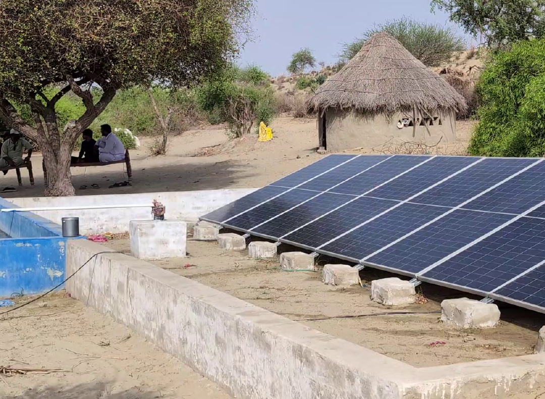
Engineer Hammad Altaf, senior energy editor of the National Productivity Organization (NPO) of the Ministry of Industry and Production, believes there are abundant sources of environment-friendly energy in Pakistan, which the government and people have to explore.
He points out that the use of clean energy sources is crucial to reduce greenhouse gases, for which hydel (hydroelectricity), solar panels, wind turbines, biomass, and geothermal power options are used worldwide.
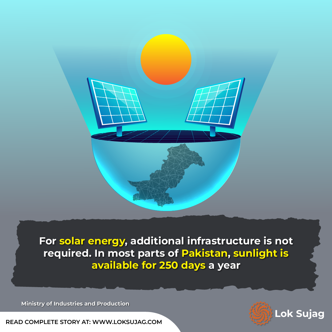
“Solar energy does not require additional construction. Most of the Pakistani regions have at least 250 days of sunshine a year. Moreover, solar electricity is eco-friendly and affordable for a common man.”
Mentioning the advantages of wind energy, he says it is a low-cost and environment-friendly method that is being exploited in the coastal areas of Pakistan.
“Water turbines have been generating energy for centuries, but now the technology has evolved. We can now use fast-flowing waterfalls and springs to generate electricity without impounding the water.”
Hammad mentions that bio-energy (renewable energy) can be obtained from wood, crop residues, animal dung and waste etc. Some villages are already using bio (dung) gas as an energy source.
“Another natural source of green energy is hot springs, also known as 'geothermal energy’. In this method, electricity is generated from underground heat that is difficult to dissipate. Unfortunately, we could not use these resources,” says Hammad.
Published on 15 May 2024
