Habibullah Khan, a 60-year-old farmer, resides in the village of Musa Khel in Mianwali. He owns 20 acres of agricultural land, and his family of eight depends on the income generated from this land, where he cultivates various crops. The water from the Naml Canal irrigates his land, but it seems he might not receive this water in the coming years.
Habibullah says that during the spring season, he cultivates wheat and chickpeas, while in autumn, he grows cotton along with barley, millet, and guar. Previously, he used to receive water for his crops in both seasons, but now the water level in the dam has significantly decreased.
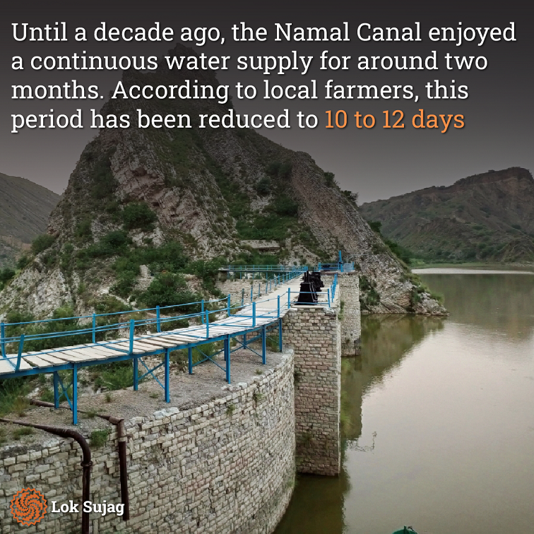
His village is 22 kilometres (km) east of Mianwali and 12 km from the Naml Dam. He states that until ten years ago, he received a continuous water supply in the Naml Canal for two consecutive months. This duration has now been reduced, and the water availability lasts only 10 to 12 days. This time, he had difficulty getting sufficient water, even for the wheat crop.
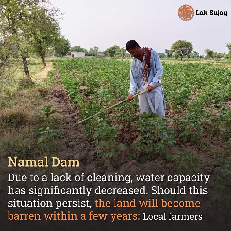
He reveals that the water-holding capacity of the dam has significantly reduced due to the lack of maintenance, stressing that if the situation persists, his land might turn barren within a few years.
Muhammad Ghazi, who belongs to the same village, owns four acres of land and faces a similar plight. He says that the water of Namal Dam no longer reaches his crops, which has pushed him to cultivate gram and millet instead of the customary wheat and cotton.
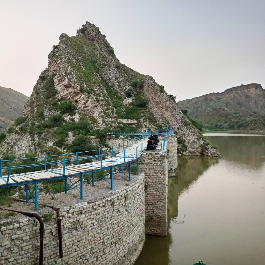
Situated 35 km east of the western edge of Koh Namak (Salt Range), Namal Dam carries historical significance as a relic of British rule. The dam’s inception dates back to 1913 when Michael O’Dwyer, then lieutenant governor of Punjab, laid its foundation.
Towering at 91 feet, the dam once possessed a storage capacity of 630 million cubic feet of water. An extensive 12 km canal, known as the ‘Namal Canal,’ was excavated alongside it.
The canal’s command area spanned 8,753 acres, of which 5,897 are under cultivation. Today, after 110 years, the canal’s length has receded to a mere eight km.
District Agriculture Officer Mohammad Farooq Azam highlights the stark changes over the years. Previously irrigating 4,500 acres of Union Council Musa Khel, the canal now struggles to irrigate a mere 3,000 acres, causing cultivation to plummet by 30 per cent.
According to the 2022 Urban Sector Planning and Management Services Unit report, the Namal Dam Lake’s area dwindled from the original 5.5 square km to 4.6 km in 1986, leading to a 16 per cent reduction in water capacity. By 2018, storage levels had sunk by 27 per cent.
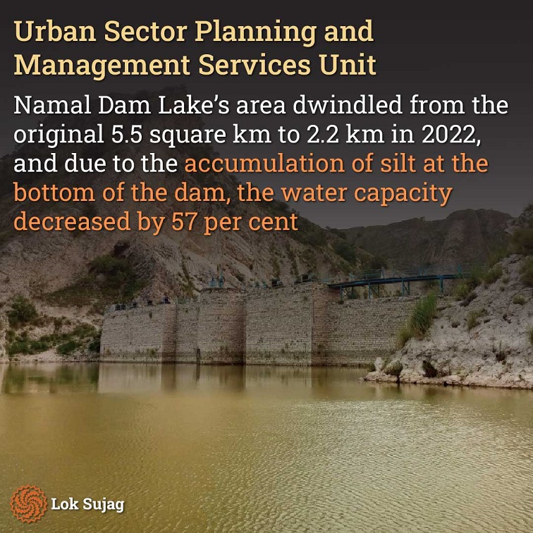
In 2022, the lake area was reduced to 2.2 square km, and due to the accumulation of silt at the bottom of the dam, the water capacity decreased by 57 per cent.
The current situation is such that along with the decrease in the lake’s water level, the area’s water table is also declining daily.
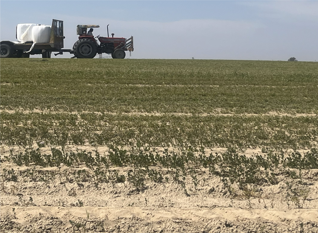
Muhammad Ghafoor, a farmer with ancestral lands in Musa Khel Union Council, attests to the crisis. He cultivates cotton across twelve acres of his 25-acre property, leaving the rest barren due to water unavailability.
He says he installed a tubewell for irrigation a year ago, drilling a 690-foot deep bore. Sixty lakh rupees were expended, but within two months, the underground water level diminished further, compelling him to close the tubewell.
According to the Crop Reporting Service, Mianwali district’s total cultivable area spans seven lakh 55 thousand acres. Out of this, an area of six lakh 70 thousand 685 acres remains uncultivated, with only 5 lakh 75 thousand acres have been cultivated with the help of canal water.
Amirullah Khan, a social worker, asserts that he submitted restoration requests to the Inhar department five times. In 2022, farmers in Musa Khel Ada staged a road-blocking protest on this issue, which unfortunately went unheard.
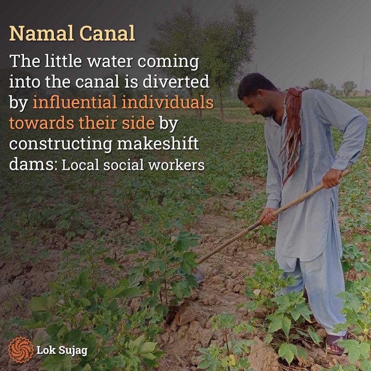
He says that the little water coming is diverted by influential individuals towards their side by constructing makeshift dams in the canal. The water doesn’t even reach further downstream, so many cultivators don’t plant the cotton crop.
Mohammad Naveed, SDO of the Inhar Department Namal, states that while the canal is de-silted, the rehabilitation of the dam is a much larger project. He says that the plan for the dam’s restoration was discussed by the previous government, but no progress could be made.
Also Read
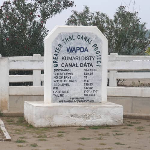
Sindh's objection over Greater Thal Canal: 'Construction of a new canal in Thal will reduce our share of water even more'.
For the rehabilitation of Namal Lake and Dam, the Urban Planning Services Unit estimated a sum of Rs 317.72 million. But no headway has been achieved in this matter.
The destruction of the lake has consequences for agriculture and the valley’s entire ecosystem, affecting birds and flora alike.
Assistant Director of Wildlife, Muhammad Abrar, explains that a large number of foreign migratory birds used to visit here. Despite hunting restrictions, now the population of these birds has significantly decreased. Additionally, certain vegetation, including anise, thornbush, and tamarisk, has become scarce in this area.
Stretching 12 km in length and covering several km in width from Musakhel to Union Council Chhdro on the western side of Koh Namak, this strip has been famous for cotton production and quality. Mohammad Qadeer Khan, a selector at the Hafizwala Cotton Factory, explains that the cotton harvested here is of superior quality. However, due to the shrinking river, it now appears that the cotton crop in this region will end, and nearly six hundred families dependent on agriculture will lose their livelihoods.
Published on 23 Aug 2023
